GPS / Mapping
(1) Introduction & Practice
(2) Locate POI (Points of Interest) for your discipline
(3) Collect Data
(4) KML/KMZ file - Google Earth
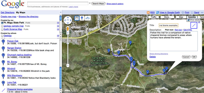
(5) Plotting your route - Google Maps
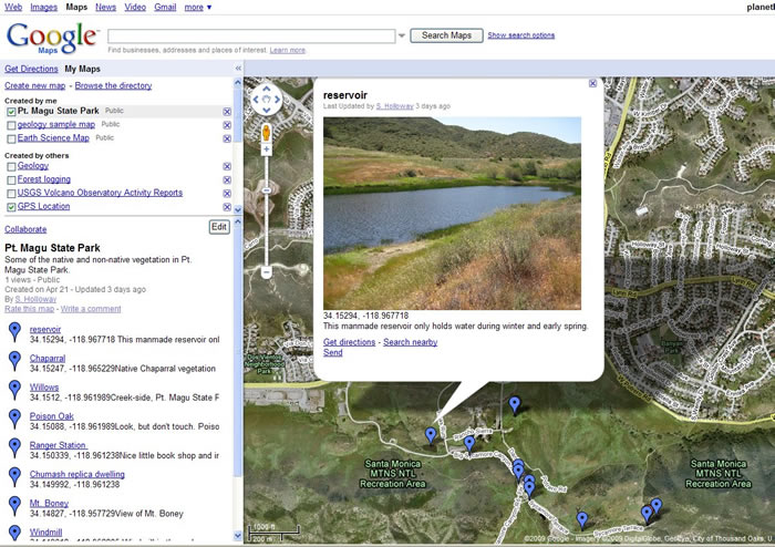
(6) Make a contribution
(7) Discussion
How Global Positioning Systems (GPS) Work.
GPS uses satellites in orbit to locate a small receiver. The receiver, called a GPS device tracks four or more satellites and receives information signals from each one. The information is processed and the receiver can tell how far away each satellite is. Similar to triangulation, the receiver creates four spheres mathematically, one for each satellite. The four spheres overlap in one point and that is the position of the receiver.
For more information check out http://en.wikipedia.org/wiki/Global_Positioning_System.
GPS can be used to very effectively to map out the dry creek that runs in front of the school. Students can mark the locations of noteworthy elements within the creek, such as significant plants and trees, man-made structures and interesting ecological phenomena. Then, the students can compile a common map using the collaborate feature in Google Maps for a class map that can be edited by future classes.